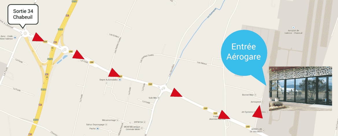
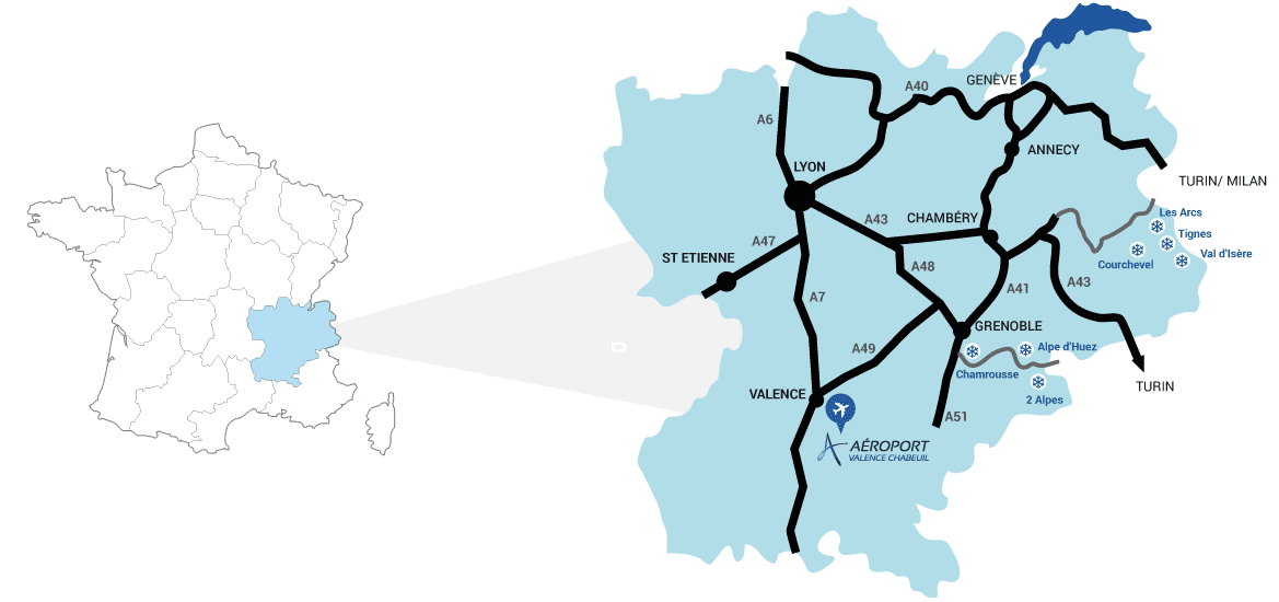
Access map
Valence Chabeuil airport is easily accessible as it is in the middle of a multimodal territory ,a few minutes away by car from Valence, Rovaltain ecopark and Valence South Rhone Alpes High Speed Train station as well as A7 and A49 motorways.
GPS details:
Latitude : 44.920834 | Longitude : 4.968056


Download Valence-Chabeuil airport map
You want more information?
CONTACT US